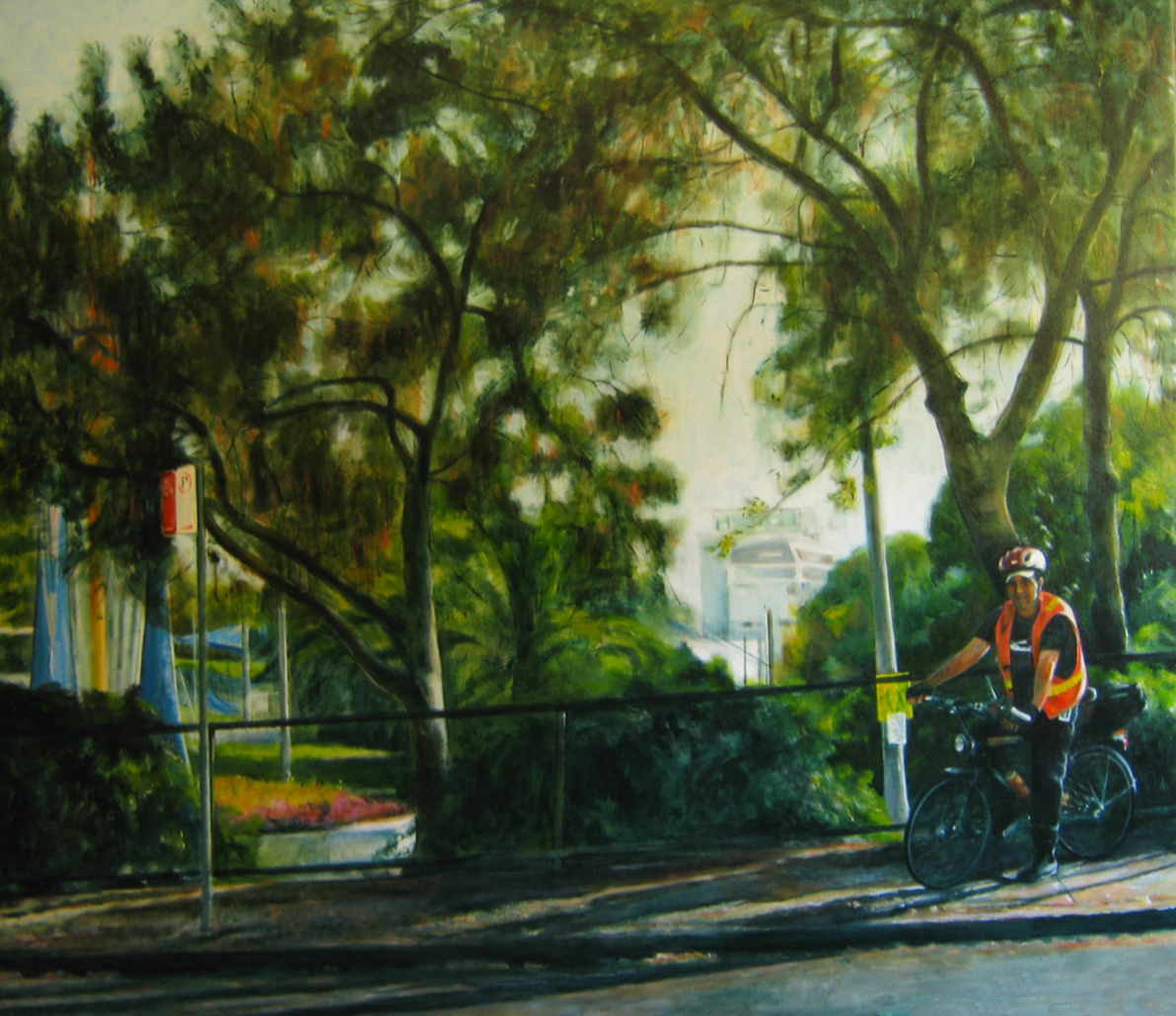
oil on cotton doek
122cm(h) x 137.5cm(w)
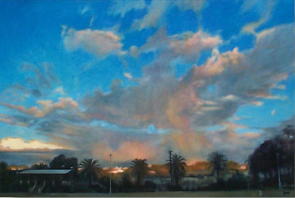
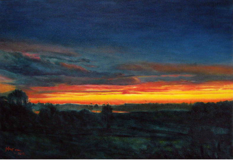
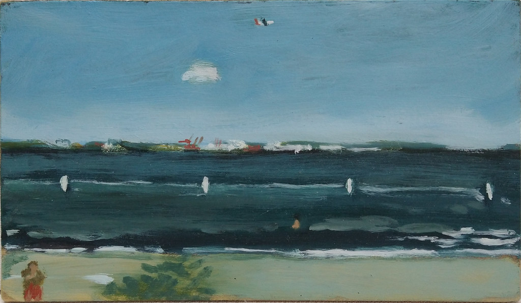
The Sydney Green Ring is a side project born from my love of bicycle riding and investigating terrain vague, the marginal spaces in the urban environment that often yield significant urban views ripe for translating into art. These space were often polluted and neglected and so they retain many of the features captured by early colonial artists, a starting point for the art historical research of colonial Sydney. The invention of portable paints had meant Australia’s invasion and colonisation was well documented from the outset.
It has since evolved into a 37 km circuit linking the riparian margins of Sydney’s original water-courses with green space, arts and recreational precincts, educational, medical and employment precincts, local, regional and international transport hubs.
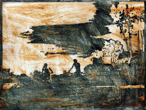
serial unique state woodblock print, oil on calligraphy paper,
The route of the Sydney Green Ring was discerned through a process of drifting (psychogeographic ‘derive’) by bicycle at the transition from daylight to dusk, in search of scenes to be photographed and worked-up in the studio. The development of the Sydney Green Ring through studio and social art practices was a conscious process linking the contemporary, urban landscape with colonial representations.
oil on cotton doek
20cm(h) x 25cm(w)
Green rings, green lattices and green belts are urban planning tools to create or retain green space, habitat and valuable, stress reducing, car-free environments in the inner city and urban areas. The potential for green transportation and habitat corridors in Sydney was the focus of academic Petra Crawshaw. In her thesis, ‘The Future of Greenways in Sydney’, she mentions the Sydney Green Ring project.
“Few of these embryonic greenways in Australia have had an holistic, multidisciplinary corridor and catchment-based approach and there has been a lack of strategic planning in provision of explicit ‘greenway’ projects. However, there have been some examples in Australia of greenway-type corridor projects where there has been an holistic approach, such as the Great Kai’mia Way and Green Ring in Sydney and the Merri Creek Trail in Melbourne.” [1]
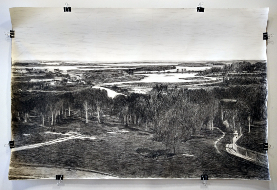
blue chalk, charcoal on Fabriano paper bulldog clips, recycled plywood backing
119cm(h) x 179cm(w)
The Sydney Green Ring developed independently of, but using many of the same resources as, The Cooks River to Iron Cove GreenWay, a project driven by Bruce Ashley, and later, the Sydney Green Grid, a project of the NSW Government Architects Office. It is an example of confluence of desire that these projects focus on the green and off-road, riparian landscape of Sydney. There is a demand and a need for human powered urban transportation in green and riparian off-road and protected locations.
Barbara Schaffer, the Landscape Architect in charge of the Sydney Green Grid states:
“…The Sydney Green Grid is a green infrastructure, design-led strategy that includes the full range of open spaces: national, regional and local parks; the harbour, ocean beaches, wetlands, rivers and creeks; playgrounds, playing fields, golf courses and cemeteries. Furthermore, interconnected linkages are fostered within the wider public realm through enhancing creek corridors, transport routes, suburban streets, footpaths and cycleways. The Sydney Green Grid is therefore an open-space interconnecting network that will keep the city cool, encourage healthy lifestyles, enhance biodiversity and ensure ecological resilience…”[2]
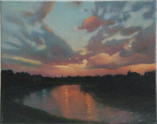
oil on cotton doek
111.5cm(h) x 152.5cm(w)
The transition of management of Sydney Airport, from public to private, has proven to be a major impediment to the expansion of the Sydney Green Ring, the Botany Bay Trail and the Inner Sydney Regional Bicycle Network. At present there is no pecuniary incentive to increase active transport, or public transport access, to the airport. Bicycles, and active transport in general, do not generate short-term, shareholder wealth.
According to the 2014 statutory income report, over 66 per percent of the wealth generated for shareholders of Sydney Airport is derived from parking motor vehicles. The excess charge for use of stations on the Airport Line could be cancelled but the former (Liberal) government used it as windfall and a means of forcing travellers into fossil-fuelled, road-based transport. These stations are the only rail link within cycling distance to Botany Bay’s environmental splendour.
oil on cotton doek
60cm(h) x 85cm(w)
International and national air traffic is exempt from greenhouse gas reporting and at the same time the pollution from air and vehicle traffic directly effects those residents living within the airport pollution footprint.
It was only through concerted action that the cycling and walking public gained access to the public forum – a diligent search proved there was in fact a committee set up to take public input, but with very few members of the public present.
Organised action by many has had the effect of forcing the Airport’s management to pay more than lip service to statutory requirements regarding land access and sustainable transport options.
oil on MDF
13cm(h) x 23cm(w)
The land upon which Mascot airport is links to the Botany aquifer and wetlands The original course of the Cooks River running through the centre, the river was diverted for runway expansion.
According to the Final 2009 Botany Bay Trail proposal endorsed and then shelved by SSROC due to lack of finance, the Kai Mia Trail is an active transport network of which the Botany Bay Trail is an integral part. It forms an active transport (human powered) corridor skirting the airport, connecting the mouth of the Cooks River and Muddy Creek at Kyeemagh to Tempe Reserve, the Mill Stream wetlands to the east of the airport, and Sir Joseph Banks Park at Botany.
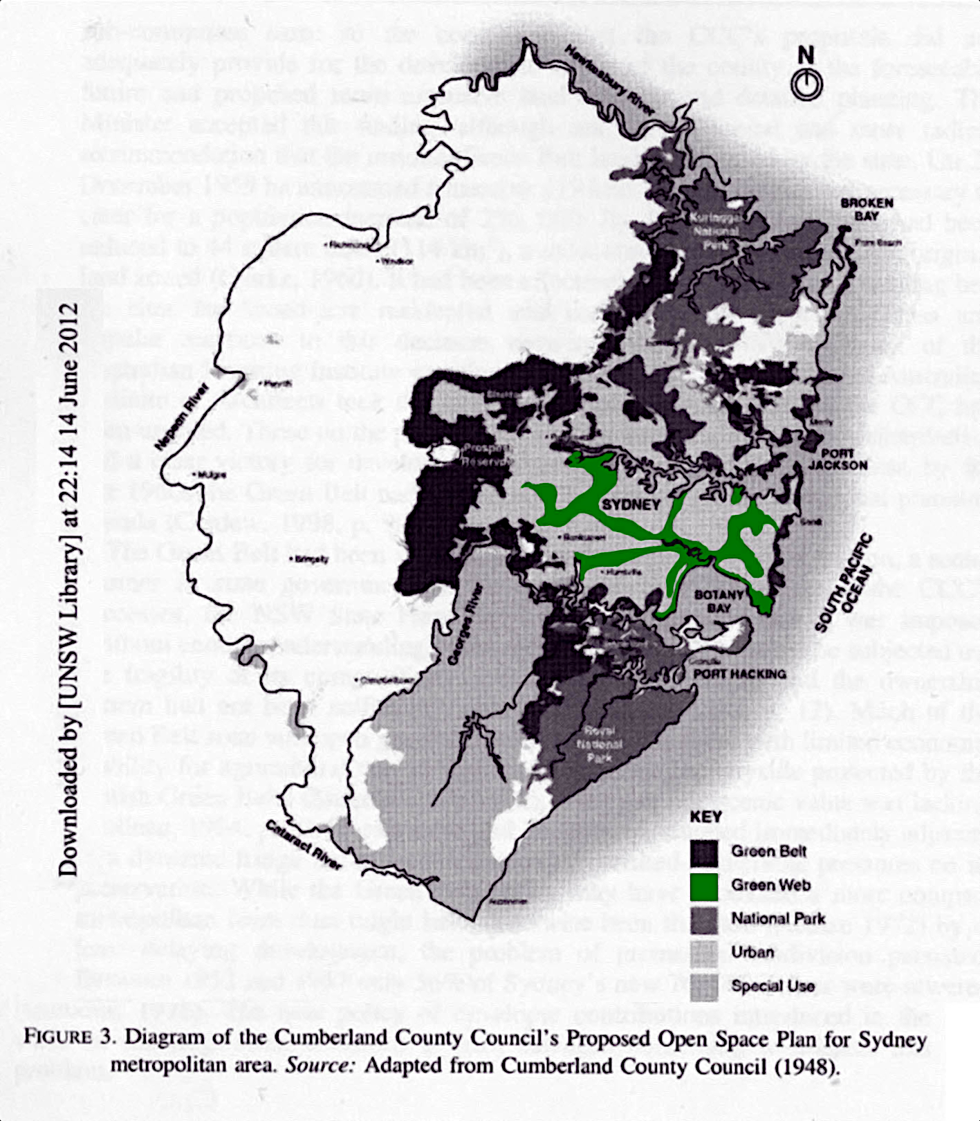
Completing the active transport and habitat links around the airport would consolidate The Green Web, part of the original 1948 Cumberland Plan. This would provide a vital east-west link for Bayside, Georges River, Sutherland Shire, Canterbury-Bankstown, and Inner West cyclists to access employment and education centres in the Eastern suburbs. It would provide coherent access for the Bayside Council, and for cyclists from Botany to access southern and western suburbs.